by Riverfront Plan | Oct 24, 2022 | Riverfront News
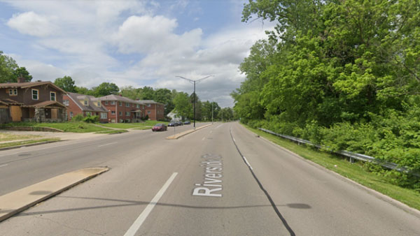
Back in May, we wrote about how the 1911 Olmstead Brothers plan for Dayton imagined bucolic parkways along the rivers. The intent was to connect people to our waterways, but one hundred years later those parkways have turned into high speed, divided roadways. These...

by Riverfront Plan | Sep 21, 2022 | Riverfront News
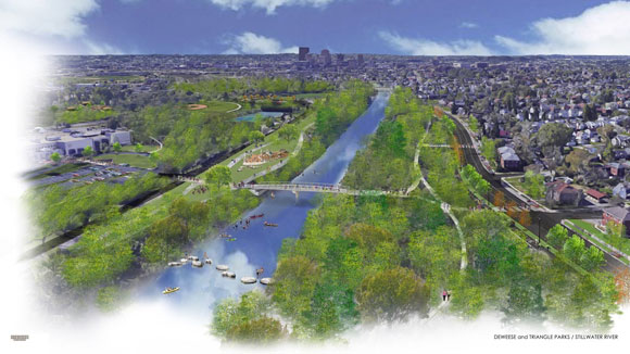
The four waterways that converge in downtown Dayton flow through parks and neighborhoods all over the city. Many of these corridors host our bikeways—part of the nation’s largest off-road trail network—linking regional towns and attractions along hundreds of miles of...

by Riverfront Plan | Jul 22, 2022 | Riverfront News
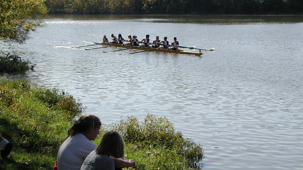
Dayton’s flood control system is the envy of the world. After the Great Flood of 1913, the Miami Conservancy District was formed with a system of five dry dams, ground-breaking engineering and hundreds of miles of levees which have kept the region safe from high water...

by Riverfront Plan | Jun 21, 2022 | Progress Reports, Riverfront News
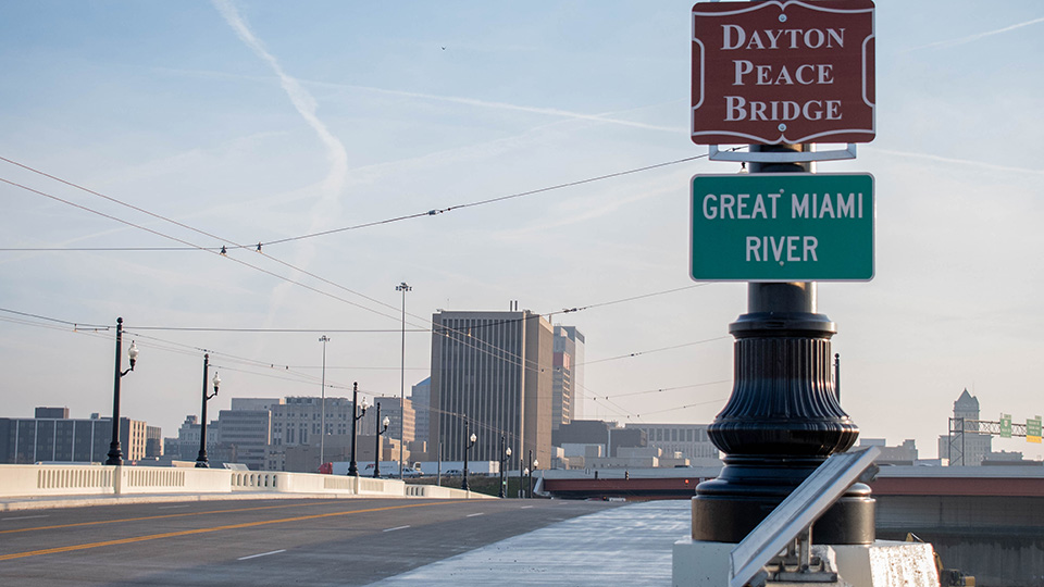
The vibrant redevelopment of downtown is spilling up, down, and over our rivers to Dayton’s neighborhoods along all points of the compass. The Dayton Riverfront Plan continues to spur on this evolution. The Third Street Bridge has reopened; the Gem City Market is...
by Riverfront Plan | May 27, 2022 | Riverfront News
In 1911, the Olmstead Brothers, sons of Fredrick Law Olmstead, the Father of Landscape Architecture, laid out Dayton’s System of Parks and Parkways. In that design, the Olmstead Brothers envisioned ribbons of parks along our rivers. Motorists could drive the parks’...


