by Riverfront Plan | Apr 21, 2023 | Guest Article, Riverfront News
Connecting a divided city and creating shared space sometimes means letting go of the old. One of the goals of the Dayton Riverfront Plan is to reconnect parts of the city that were cleaved from the whole in the 1950s and 60s, by insertion of Interstate 75 through the...
by Riverfront Plan | Mar 28, 2023 | Guest Article, Riverfront News
The Dayton Riverfront Plan is ambitious — and will serve our communities for generations to come. Many of the concepts within the plan have been developed in concert with residents and stakeholders, and the plan has focused on knitting together ongoing work along our...
by Riverfront Plan | Feb 20, 2023 | Guest Article, Riverfront News
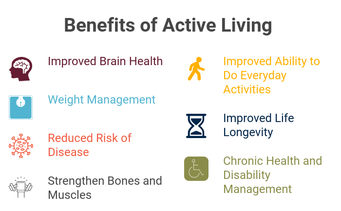
A major tenet of the Dayton Riverfront Plan is to achieve a healthy city where places and programs support health, safety, and wellness for all who live, learn, work and play along the riverfront. In the Miami Valley, more than a third of adults are obese and one in...
by Riverfront Plan | Jan 30, 2023 | Riverfront News
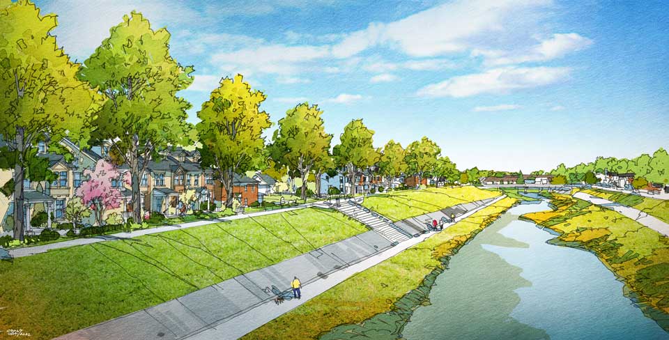
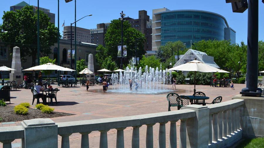
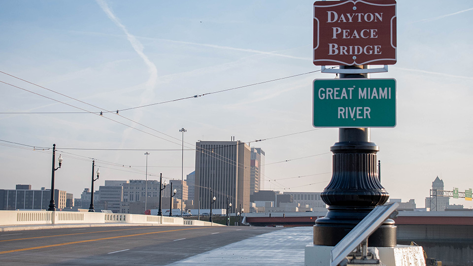
The Dayton Riverfront Master Plan is, in many ways, a plan about connecting. This is a common theme among the many projects being advanced—connecting neighborhoods with waterways, connecting neighborhoods with one another and connecting residents with natural...
by Riverfront Plan | Dec 15, 2022 | Progress Reports, Riverfront News
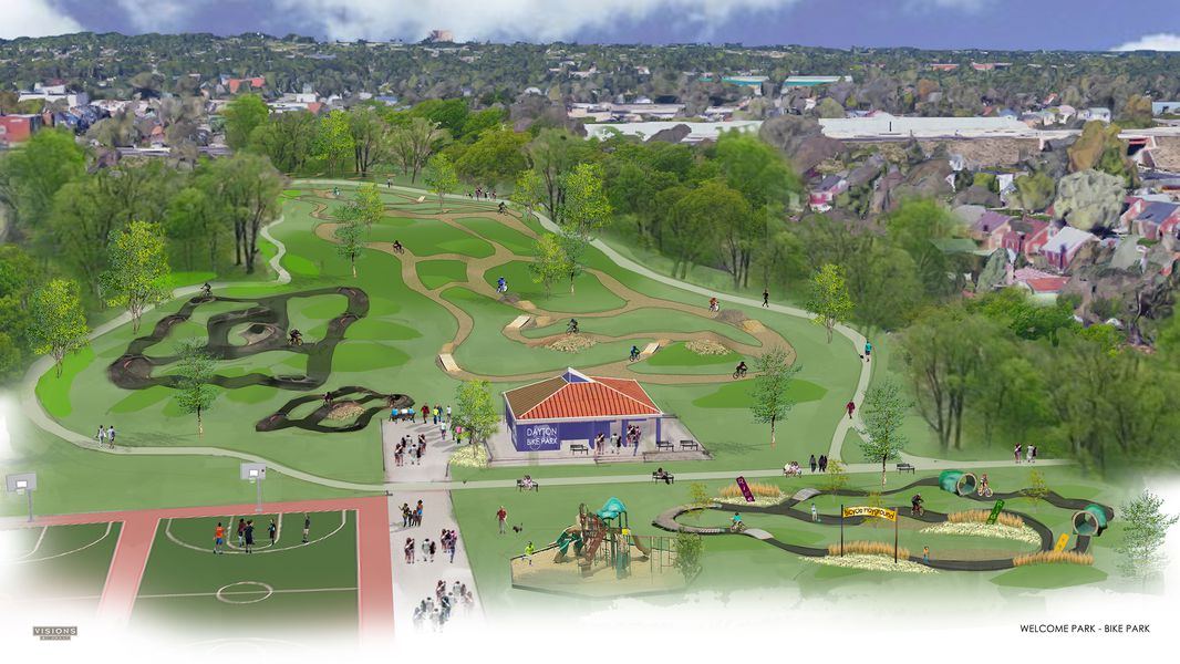
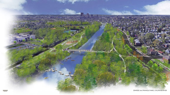
The vibrant redevelopment of downtown is spilling up, down, and over our rivers to Dayton’s neighborhoods along all points of the compass. The Dayton Riverfront Plan continues to spur on this evolution. Below is the long list of the Plan’s projects that have been...
by Riverfront Plan | Nov 28, 2022 | Riverfront News
In December, we’ll share a progress report on all the Dayton Riverfront Plan projects that are in the works, underway, or completed. This month, we want to highlight a particular project—a study that is critical to the success of the entire Plan. There are three types...
by Riverfront Plan | Oct 24, 2022 | Riverfront News
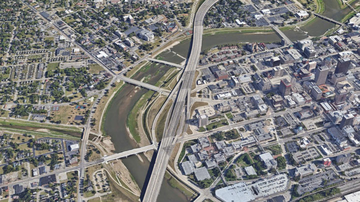
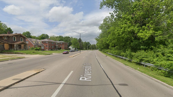
Back in May, we wrote about how the 1911 Olmstead Brothers plan for Dayton imagined bucolic parkways along the rivers. The intent was to connect people to our waterways, but one hundred years later those parkways have turned into high speed, divided roadways. These...
by Riverfront Plan | Sep 21, 2022 | Riverfront News
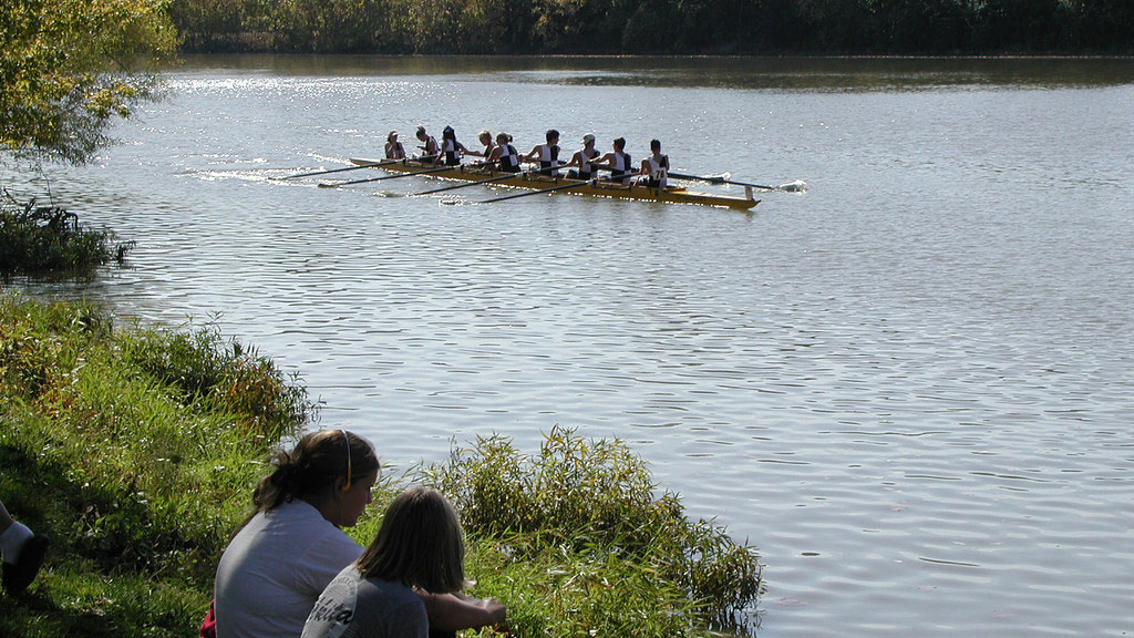
The four waterways that converge in downtown Dayton flow through parks and neighborhoods all over the city. Many of these corridors host our bikeways—part of the nation’s largest off-road trail network—linking regional towns and attractions along hundreds of miles of...
by Riverfront Plan | Jul 22, 2022 | Riverfront News
Dayton’s flood control system is the envy of the world. After the Great Flood of 1913, the Miami Conservancy District was formed with a system of five dry dams, ground-breaking engineering and hundreds of miles of levees which have kept the region safe from high water...
by Riverfront Plan | Jun 21, 2022 | Progress Reports, Riverfront News
The vibrant redevelopment of downtown is spilling up, down, and over our rivers to Dayton’s neighborhoods along all points of the compass. The Dayton Riverfront Plan continues to spur on this evolution. The Third Street Bridge has reopened; the Gem City Market is...