Dayton Riverfront Plan
No Results Found
The page you requested could not be found. Try refining your search, or use the navigation above to locate the post.
About the Plan
The Plan was created from a partnership-driven revitalization effort that brought together Five Rivers MetroParks, Miami Conservancy District, the City of Dayton, Montgomery County, Miami Valley Regional Planning Commission, the Downtown Dayton Partnership, and the Greater Dayton Regional Transit Authority (RTA). Additional funding support was provided by The Dayton Foundation and the Montgomery County Land Bank.
Partners
- City of Dayton
- Five Rivers MetroParks
- Miami Conservancy District
- CityWide Development Corporation
- Downtown Dayton Partnership
- Greater Dayton Regional Transit Authority
- Miami Valley Regional Planning Commission
- Montgomery County
- Montgomery County Land Bank

Keep up with our progress
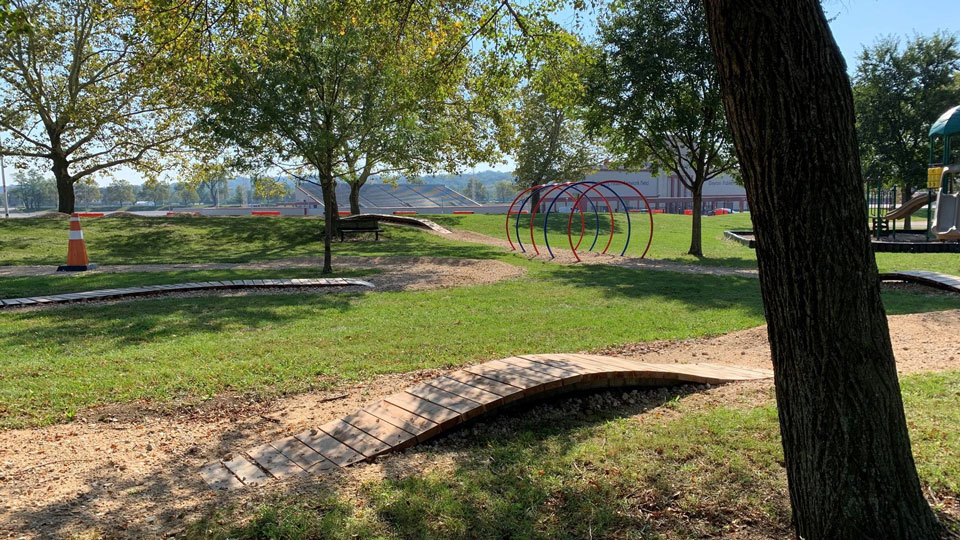
Tour a map of the Plan’s study area to see what projects have been completed, what projects are being implemented, and what projects are being planned right now.
News
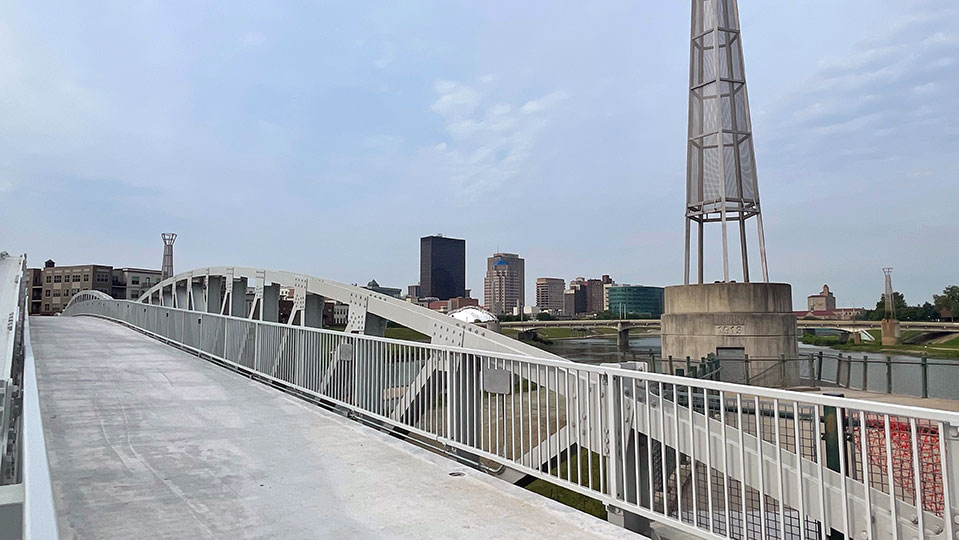
Progress on Sunrise, Sunset and Unity Bridge
Many of you may have seen the television interviews and the newspaper articles a few weeks ago about plans for Sunrise MetroPark and the Unity Bridge over the Great Miami River. In addition local TV coverage, reporting on the bridge can be found online at the Dayton...
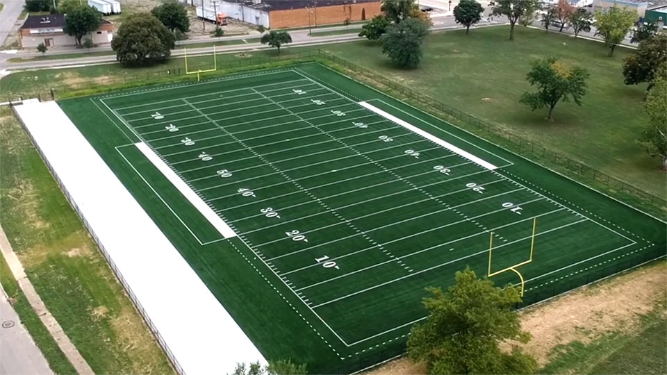
Spotlight on the Education Corridor
The Education Corridor of the Dayton Riverfront Plan provides the most dynamic opportunity for economic redevelopment. The corridor covers the south stretch of the Great Miami River from downtown to Carillon Historical Park, connecting some of the region’s strongest...
Spotlight on the Technology Corridor
The Mad River defines the Technology Corridor of the Dayton Riverfront Plan. From Eastwood MetroPark, near Wright Patterson Air Force Base, the Mad River flows to its confluence with the Great Miami River beneath the shower of the Five Rivers Fountain of Lights. This...
Our Goals
Economic Engine
Leverage the rivers to catalyze development in greater downtown and ensure long-term vitality of the region.
Something for Everyone
Provide more diverse programs and experiences, and ensure their equitable distribution across the riverfront.
Heart of Dayton
Healthy City
Take me to the River
Living Protection
flooding.